wisemonkeys logo
FeedNotificationProfileManage Forms
FeedNotificationSearchSign in
wisemonkeys logo

Blogs

GIS Applications: How Different Industries are Leveraging Geospatial Data

profile
Suhail Dangra
Mar 16, 2023
0 Likes
0 Discussions
73 Reads

Geographic Information Systems (GIS) are being used by various industries to collect, store, analyze, and visualize geospatial data. This technology has revolutionized the way organizations make decisions by enabling them to understand and interpret data in a spatial context. In this blog post, we will explore how the agriculture industry is leveraging GIS and how it is using it to gain a competitive advantage.

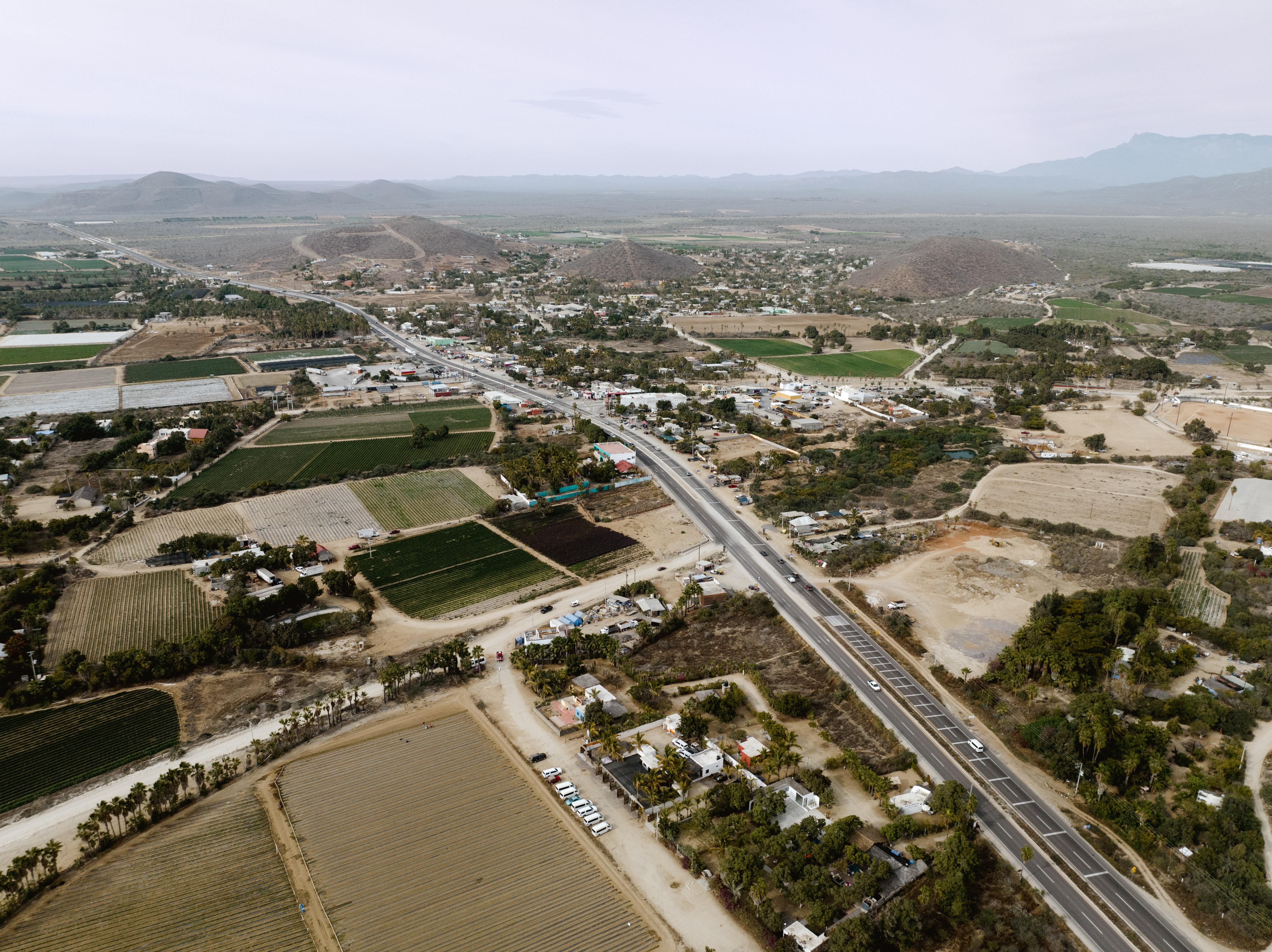
Farmers are increasingly using GIS technology to improve their crop yields and optimize their operations. By mapping their fields, farmers can identify areas that need more or less water, fertilizer, or pesticides, and adjust their practices accordingly. GIS can also be used to track crop growth and monitor soil moisture levels, which can help farmers make more informed decisions about when to plant, irrigate, or harvest.

Another way that GIS is helping the agriculture industry is by providing valuable insights into weather patterns and climate change. GIS can help farmers track weather conditions in real-time, and provide advance warning of severe weather events such as floods, droughts, or storms. GIS can also help farmers identify areas that are most vulnerable to climate change, and develop strategies to adapt to these changes.

By leveraging GIS, farmers can gain valuable insights that can help them improve their crop yields, reduce costs, and make more informed decisions about their operations. GIS can help farmers optimize their land use, minimize their environmental impact, and respond quickly to changing conditions.

In conclusion, GIS is a powerful tool that is being used by the agriculture industry to gain valuable insights from geospatial data. By mapping their fields, tracking weather patterns, and monitoring soil moisture levels, farmers can optimize their operations and improve their crop yields. As GIS technology continues to evolve, we can expect to see more industries adopt this


Comments ()


Sign in

Read Next

RAID

Blog banner

Uniprocessor Scheduling

Blog banner

Deadlock and Starvation

Blog banner

What is the point of living if we can die at any moment of our lives ?

Blog banner

ASANA- A Management System.

Blog banner

Dove’s Real Beauty Campaign- Case Study

Blog banner

Shoulders

Blog banner

The IT Service Lifecycle

Blog banner

Gis in agriculture and farming

Blog banner

Social Engineering Deceptions and Defenses

Blog banner

Mumbai

Blog banner

Privacy LAWs in IT

Blog banner

How social media affect

Blog banner

Consumer to consumer Business model

Blog banner

Article on Fresh Book

Blog banner

Why Should You Schedule Tweets on Twitter?

Blog banner

Interrupts in operating system.

Blog banner

VIRTUAL MACHINE

Blog banner

How College Events Build Real-world Skills You Can’t Learn From Textbooks

Blog banner

Famous Indian dishes that where misunderstood to be Indian

Blog banner

DIGITAL TECHNOLOGY

Blog banner

Way to make your meal healthier.

Blog banner

Deadlock

Blog banner

Trello ( management software)

Blog banner

What your Favorite colour says about You?

Blog banner

Types of Hackers.

Blog banner

Paralysis/Paralysis Stroke

Blog banner

Elegant fashion style

Blog banner

Direct Memory Access

Blog banner

VPN

Blog banner

SWEET SHREDDED MANGO CHUNDA (MANGO CHUNDA)

Blog banner

Types of Threads

Blog banner

E-Cash (Electronic Cash)

Blog banner

ahh wait a min

Blog banner

Security in Cloud Computing Environment using cryptography - Rushabh Modi

Blog banner

Banaras

Blog banner

What do you mean by online marketing and why do you need to know about it

Blog banner

Question

Blog banner

Regression Analysis

Blog banner

Health and fitness

Blog banner

Deadlock

Blog banner

Cloud Security: Trends and Innovations

Blog banner