
A central issue in agricultural development is the necessity to increase productivity, employment, and income of poor segments of the agricultural population, and by applying GIS in agriculture, this situation can be addressed. GIS tools and online web resources are helping farmers to conduct crop forecasting and manage their agriculture production by utilizing multispectral imagery collected by satellites. The ability of GIS to analyze and visualize agricultural environments and workflows has proven to be very beneficial to those involved in the farming industry. GIS has the capability to analyze soil data and determine which crops should be planted where and how to maintain soil nutrition so that the plants are best benefitted.
GIS in agriculture helps farmers to achieve increased production and reduced costs by enabling better management of land resources. The risk of marginalization and vulnerability of small and marginal farmers, who constitute about 85% of farmers globally, also gets reduced.
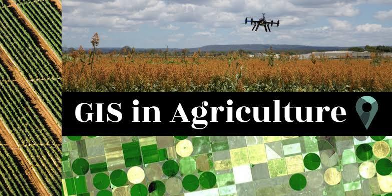
GIS in agriculture has been boosted by the general advancement of technology in the past few decades.
The use of GIS in agriculture is all about analyzing the land, visualizing field data on a map, and putting those data to work. Powered by GIS, precision farming enables informed decisions and actions through which farmers get the most out of each acre without damaging the environment.
Speaking of tools, geospatial technology in agriculture relies on satellites, aircraft, drones, and sensors. These tools are used to make images and connect them with maps and non-visualized data. As a result, you get a map featuring crop position and health status, topography, soil type, fertilization, and similar information.
There are several applications of geoinformatics in agriculture. Let’s have a look at some of them.
The following applications are use in GIS Application:
Crop yield prediction
Crop health monitoring
Livestock monitoring
Insect and pest control
Irrigation control
Flooding, erosion, and drought control
Farming automation